Posts tagged beach
Jul 09
Panasia Island
Louisiade Archipelago, Papua New Guinea 11º08’10″S 152º20’84″E
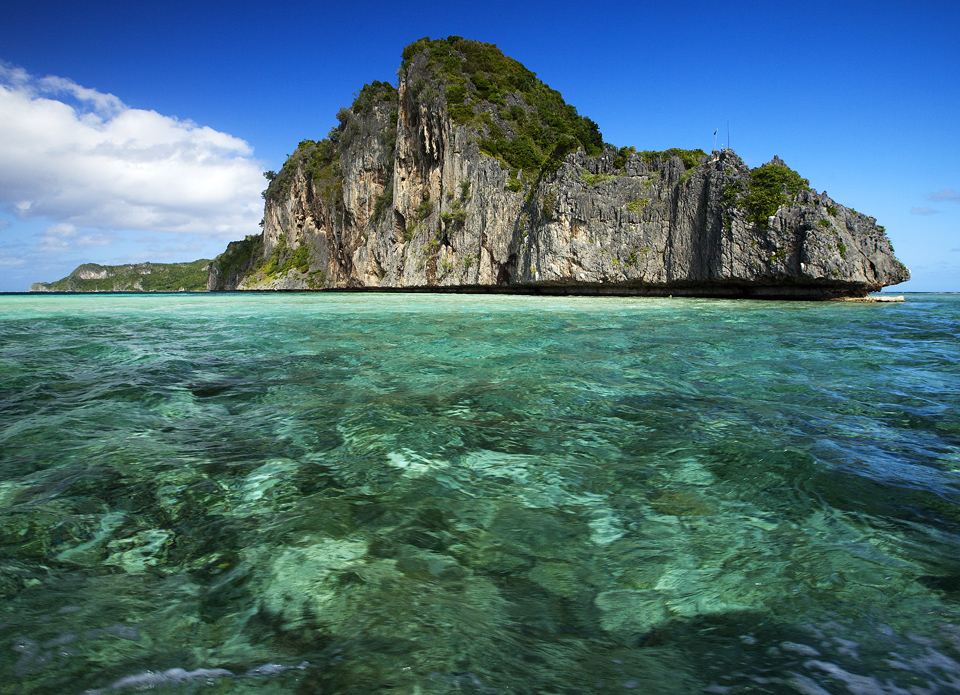
Panasia is a spectacular island of uplifted coral reef making jagged limestone cliffs in the Louisiade Archipelago.
The Louisiade Archipelago is a string of ten larger volcanic islands frequently fringed by coral reefs, and 90 smaller coral islands located 200 km southeast of New Guinea, stretching over more than 160 km and spread over an ocean area of 26,000 km between the Solomon Sea to the north and the Coral Sea to the south.
Local elderly woman with a stick in a fishermen village at Panasia Island.
Jul 09
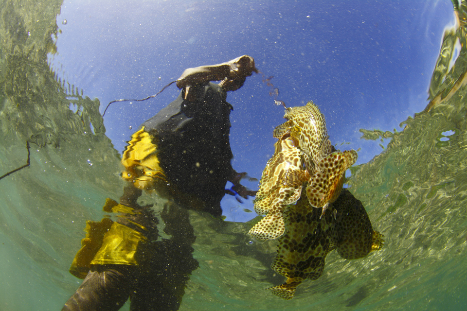
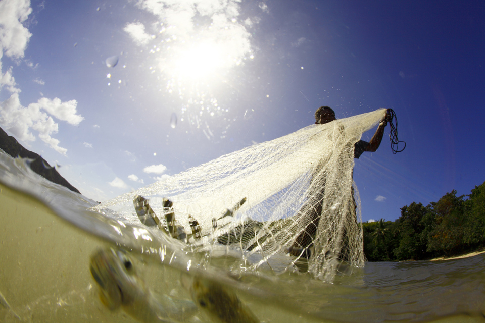
Catch of the day
Louisiade Archipalego, Papua New Guinea 11º08’80″S 152º41’64″E
“Pacific Natives may appear to some to be the most wretched people upon Earth, but in reality they are far more happier than we Europeans; being wholly unacquainted not only with the superfluous but the necessary Conveniences so much sought after in Europe, they are happier in not knowing them. They live in a Tranquillity which is not disturbed by the Inequality of Conditions. The Earth and Sea of their own accord furnishes them with all things necessary for life, they covet not Magnificent House, Household-stuff &c, they live in a warm and fine Climate and enjoy a very wholesome Air, so that they have very little need of Clothing and this they seem to be very sensible of, for many of whom we gave Cloth &c to, left it carelessly upon the Sea beach and in the Woods as a thing they had no manner of use for. In short they seem’d to set no Value upon anything of their own for any one article we could offer them; this in my opinion argues that they think themselves provided with all the necessary’s of life and that they have no superfluities.”
James Cook (October 27, 1728 – February 14, 1779) was a British explorer and navigator. He made three voyages to the Pacific Ocean, in which its main shorelines were discovered.
Captain Cook’s Journal during his first voyage round the world made in H.M. Bark “Endeavour” 1768-71
Jul 09
Papuan Canoe
Louisiade Archipelago, Papua New Guinea 11º15’56″S 153º12’35″E
In Papua New Guinea, a canoe is like a car; it provides transportation and more. Canoes are traditionally decorated with clan symbols and other emblems of power to insure speed and success. A canoe with a beautiful prow has status and power. Childrens on a outrigger canoe in the village of Hessessai Bay at PanaTinai (Panatinane) island in the Louisiade Archipelago in Milne Bay Province, Papua New Guinea.
Jun 09
Oro Bay
New Caledonia 22º35’99″S 167º31’67″E
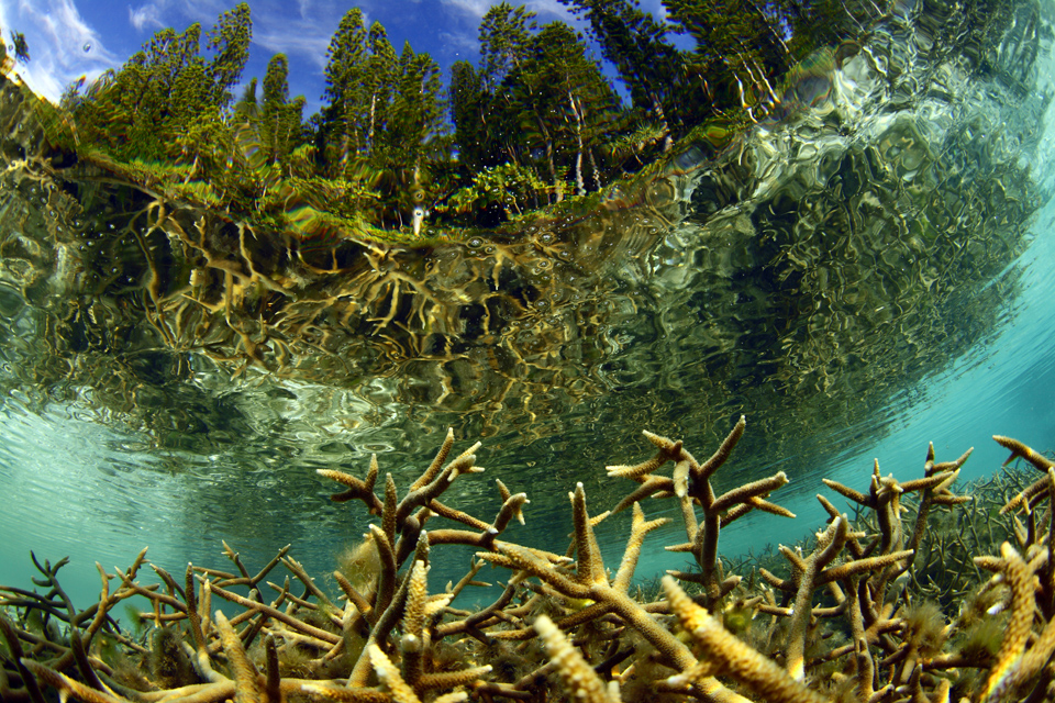
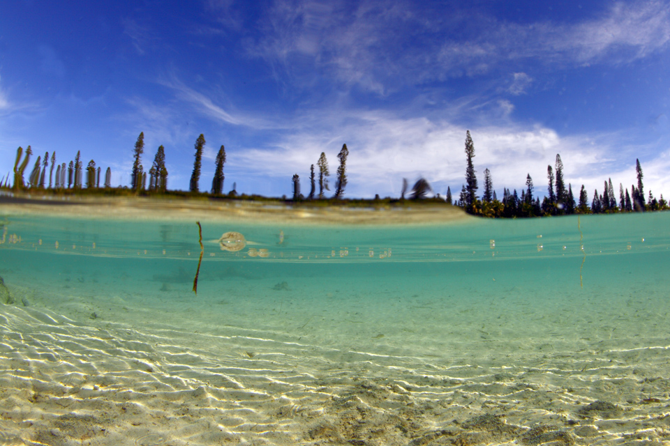
Water view of the beautiful natural swimming pool out of the coral limestone surrounded by Araucaria pines. Reached by sea on foot along a small narrow path and truly out of this world, Oro Bay boasts two superb beaches of incredibly fine white sand, crystal water. Eighty kilometres south-east of Noumea lies the enchanting Isle of Pines (14 km wide, 18 km long) a place where time seems to stand still in an idyllic setting of white beaches under swaying palms and soaring Araucaria pines.”Kunié “, as it is still called by the inhabitants, is as beautiful under water as it is on land and a favourite spot for divers.The Isle of Pines (French: Île des Pins; Kanak name: Kunyié) is an island located in the Pacific Ocean, in the archipelago of New Caledonia, an overseas territory of France. The island is part of the commune (municipality) of L’Île-des-Pins, in the South Province of New Caledonia. The Isle of Pines is often nicknamed l’île la plus proche du paradis (“the closest island to Paradise”).
Oct 08
Bondi Icebergs Swimming Club
Bondi Beach, New South Wales, Australia 33º53’24″S 151º16’47″E
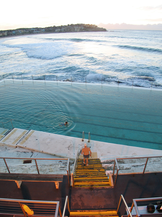 Photo assignment for Lexus magazine.
The Swimming Club’s origin dates back to 1929 and owes its origins to the desire of a band of dedicated local lifesavers who wished to maintain their fitness during the winter months. They formed the Bondi Icebergs Winter Swimming Club and drew up a constitution and elected office bearers. Included in the constitution was a rule that to maintain membership it was mandatory that swimmers compete on three Sundays out of four for a period of five years. The Icebergs became licensed in 1960 and the members moved from a tin shed into comfortable premises with Bar and Poker Machines. A further update took place in the 1970s enabling the Club to operate on two floors. In 1994, female members were admitted and in 2002 the Club opened their new premises. 
Oct 07
Lord Howe Island
Tasman Sea, Australia 31º31’64″S 159º03’58″E
Lord Howe Island is an irregularly crescent-shaped volcanic remnant in the Tasman Sea between Australia and New Zealand, 600 kilometres (370 mi) directly east of mainland Port Macquarie, and about 900 kilometres (560 mi) from Norfolk Island. The island is about 10 km long and between 2.0 km and 0.3 km wide with an area of 14.55 km2, “of which only 398 hectares is in the lowland settled area”. The first reported sighting of Lord Howe Island was on 17 February 1788 when Lieutenant Henry Lidgbird Ball, commander of the Armed Tender HMS Supply was on its way from Botany Bay to found a penal settlement on Norfolk Island. On the return journey Ball sent a party ashore on Lord Howe Island to claim it as a British possession. It subsequently became a provisioning port for the whaling industry, and was permanently settled in June 1834. When whaling declined, the worldwide export of the endemic kentia palms began in the 1880s, which remains a key component of the Island’s economy. The other continuing industry, tourism, began after World War II.The Lord Howe Island Group is recorded by UNESCO as a World Heritage Site of global natural significance. Most of the island is virtually untouched forest with many of the plants and animals found nowhere else in the world. Other natural attractions include the diversity of its landscapes, the variety of upper mantle and oceanic basalts, the world’s southernmost barrier coral reef, nesting seabirds, and its rich historical and cultural heritage. The Lord Howe Island Act of 1981 established a “Permanent Park Preserve” (covering approximately 70 per cent of the island). The surrounding waters are a protected region designated the Lord Howe Island Marine Park.

