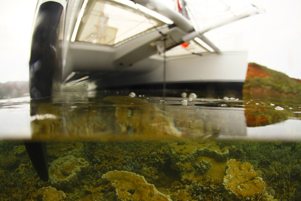
 Oups!! Early in the morning a 60 feet catamaran Ginninderra run aground on a reef at Prony Bay situated in the South of New Caledonia, between the Havannah and Woodin canals, which separate it from Ile Ouen.
Posts tagged coral reef
Jun 09
Oro Bay
New Caledonia 22º35’99″S 167º31’67″E
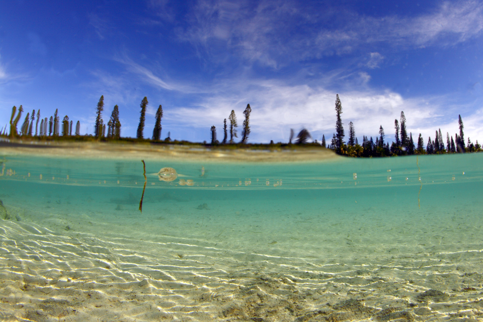
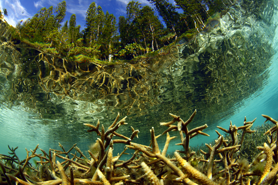
Water view of the beautiful natural swimming pool out of the coral limestone surrounded by Araucaria pines. Reached by sea on foot along a small narrow path and truly out of this world, Oro Bay boasts two superb beaches of incredibly fine white sand, crystal water. Eighty kilometres south-east of Noumea lies the enchanting Isle of Pines (14 km wide, 18 km long) a place where time seems to stand still in an idyllic setting of white beaches under swaying palms and soaring Araucaria pines.”Kunié “, as it is still called by the inhabitants, is as beautiful under water as it is on land and a favourite spot for divers.The Isle of Pines (French: Île des Pins; Kanak name: Kunyié) is an island located in the Pacific Ocean, in the archipelago of New Caledonia, an overseas territory of France. The island is part of the commune (municipality) of L’Île-des-Pins, in the South Province of New Caledonia. The Isle of Pines is often nicknamed l’île la plus proche du paradis (“the closest island to Paradise”).

Jun 09
Middleton Reef
Tasman Sea, Australia 29º26’52″S 159º05’01″E
 Shipwrecks aground on Middleton Reef.
Middleton Reef is a coral reef in the Tasman Sea. It is separated by a deep oceanic pass some 45 km wide from nearby Elizabeth Reef, forming part of the Lord Howe Rise underwater plateau. Middleton Reef is around 220 km from Lord Howe Island and 555 km from the coast of New South Wales. In 1997 the Environment, Sport and Territories Legislation Amendment Bill 1996 included Middelton Reef in Australia’s Coral Sea Islands Territory.This island is included also in Elizabeth and Middleton Reefs
Middleton Reef is a platform reef and is among the southernmost platform reefs in the world. However, despite its relatively high latitude, a wide variety of flora and fauna exists both on the island and in the surrounding waters. This is due to its location where tropical and temperate ocean currents converge.
Middleton reef is about 8.9 km long by 6.3 km wide and is usually submerged. However, at low tide most of the reef flat is exposed. At high tide only one cay on the reef is visible, at one metre above sea level. The cay is called The Sound and is 100 m by 70 m.
The reefs form the Elizabeth and Middleton Reefs Marine National Park Reserve managed by the Government of Australia under the Natural Heritage Trust.
Surveys by the Australian Institute of Marine Science have highlighted healthy number of Black Cod Epinephelus daemelii which is now a threatened species in NSW waters. The survey in 2003 highlighted some 111 species of coral and at the same time identified 181 species of fish. The total number of recorded fish species on the reef is 311 across several surveys. High numbers of Galapagos sharks Carcharhinus galapagensis were observed at Elizabeth Reef.


